I took a bottle of water with me yesterday, despite the fact that I suspected I might have a short run. This was less to do with not feeling like running, as I felt fine, but more to do with not feeling particularly inspired by any of my normal routes.
After a relatively dry period, it had been raining for a couple of days so there was a top layer of mud sitting on a more solid surface below. This meant slippery conditions… actually very slippery in places as I was to find out.
As I headed out of town on Ockley Lane, so another runner appeared in front of me from a path and ran ahead of me. He didn’t slow and it was only my devil-may-care approach to mud that allowed me to catch him as we ran towards Oldlands Mill. He looked very familiar to me (like Ian that I used to hang out with 20 years ago) but we only chatted for a few minutes before he ran off to do a shorter loop. This all may sound odd to non-runners, but when your feet are sliding every which way, your focus is pretty much on the ground rather than any running companion.
He did however ask if I was going to run up the beacon and since that suddenly seemed like a good focus, I said yes and off I ran in that direction. At the bottom of Lodge Hill I took a dog-leg to the right and cut down to New Road across the fields to the West of Ditchling. And there was a highly misleading sign from Mid Sussex District Council about the re-routing of a path. Suffice to say I decided to have a look so turned right and ran along the road.
I’d obviously misread their map and as the path didn’t materialise, I turned left by Lodge Farm and headed towards the scarp slope. On such a slippery day, climbing the scarp slope can be slow-going so my target was to run up what is locally called the tank-tracks, a path that has has been kind of tarmacked in a primitive way. It’s a really steep climb and unlike my normal path to the top, it is relentless in its gradient. It’s also really intriguing as the areas to the left is landscaped like a giant playground. I made a mental note to find out why.
At the top, as I paused to catch my breath, a couple supplied the answer… it had been where the Canadian troops dug in during the war and the tank-tracks were just that. The Canadians must have been made of sturdy stuff to drive up and (more to the point) down that gradient… NOT for the faint of heart!
Since I was running well, I turned right, away from the Beacon and headed for new territory… I had decided to take Wolstonbury for the Fosters. This involved running down past the golf course to the Clayton Hill road, right up the permissive bridleway and then left up the long hill.
At one point I was running along on a narrow elevated grass verge about a sea of cloggy mud, which was the path, when my left leg slid right to catch my right leg. With my weight going left toward a clearly painful encounter with a barbed-wire fence (I was actually more worried about ripping my Gore jacket) I somehow managed to twist from my core to go straight down, landing safely on one knee but feeling poleaxed from suddenly tensing a whole bunch of muscles, particularly those around my groin.
As I approached Wolstonbury from the south, my aim to claim it for the Fosters was thwarted as I found a small boy sitting resolutely atop the trig-point. He was guarded by a plucky younger sister twirling around so I retreated, gracefully.
The view from the top of the north slope was breathtaking, even on a misty day and their mother was able to clearly point out to me where the path led to the north.

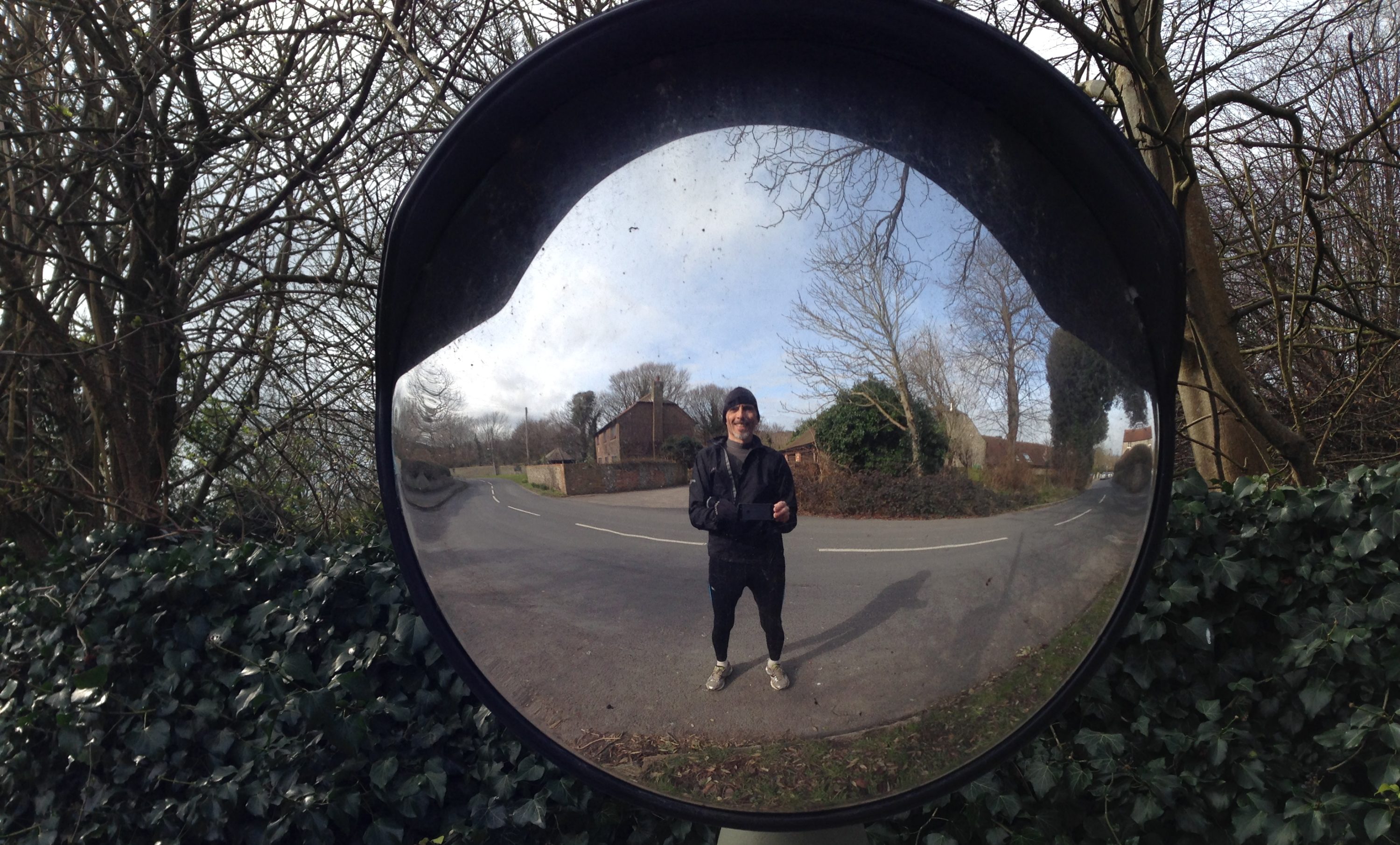
Getting down the steep grass slope was hard work, feet searching for grip and legs pumping to absorb the descent and harder still when I reached the slippery mud further down, but it took only moments. Having stopped for a pee, negotiated a bunch of little wooded paths and deeply mudded tracks and finally reached the road, I took the next photo only ten minutes after the last.

I then ran on and finally managed to find Danny House. It really is an awe-inspiring place.

A compass might not have gone amiss at this point, as, hoping for the most direct route back (I was already knackered) I ended up on the Brighton Road approaching the Hurstpierpoint church from the south. Cutting east through Hurst was interesting, looking at all the dwellings that have been shoehorned into this charming little village. The rest of the run, north to Hammonds Mill Farm, then dog-legging north east to the railway bridge and back along the railway, was hard work… I seldom stop when I’m running but I had to stop twice in the last 20 minutes.
14.1 miles took me 2 hours 35 minutes, a dismal 5.45mph, but I really enjoyed the challenge of the run and Wolstonbury is well worth trying to storm again, if only for the view!
PS. If anyone lost a pair of sheepskin boots on Saturday night, this is where they are.

I really enjoyed perusing your runs this evening. The pictures you have posted capture the feel of the place. I like being reminded!