I couldn’t work out where to run this morning and having poured over the maps trying to decide and seen some new paths in the process, I felt I couldn’t just go & do a standard circuit.
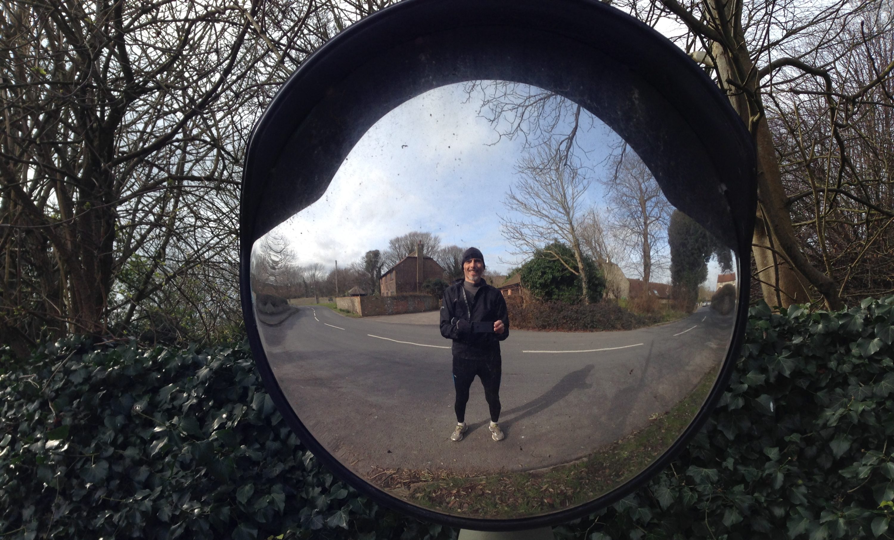
I ran down Junction Road and out on Rocky Lane as far as the tunnel under the railway line. The last bit where the road twists is perilous and I had to cross the road twice in order to stand any chance making it alive.
The reason for this, in part, is due to the way that the council aims to keeps speeds down on country lanes… by allowing the undergrowth to grow up to the apexes on corners and not leaving a verge. This narrows the vision of motorists in the vain hope that they will feel less comfortable and slow down.
Actually, I think it scares the pants off drivers, particularly in the dark and in the winter. The by-product is that you need to take your life in your hands if you want to cycle, whilst pedestrians must be mad to even contemplate walking.
Sad really, in view of the number of commuters who travel between Burgess Hill & Haywards Heath every day and have no real alternative to driving. I have suggested they install a graded cycle path, but I don’t suppose that would be contemplated any time soon… maybe once the new section of road from Bolmore Village to Rocky Lane has been completed.
On the map there is a path that links the corner by the tunnel to Kiln Wood, Rookery Way and the Haywards Heath end of Rocky Lane. Eschewing the road, this is the route I took.

This gave me an opportunity to see the new roundabout at the top of Fox Hill and also to realise that there is a link through Southdowns Park to the Hospital, rather than negotiating the oblique right turn near the Birch Hotel.

I’ve not see Southdowns Park up close so I ran around both that and the hospital grounds before running off along the Lewes Road.
My aim had been to run to Scaynes Hill and then back along the Sussex Border Path, but I missed the path and rather than going back to look again, I continued out towards Chailey as far as Pound Common… despite the verges not being particularly welcoming.
Bearing in mind the hype around being green, there is not much encouragement to travel by foot around here!

At Pound Common I turned right towards Wivelsfield and bore right again onto the Common where I promptly got lost, running hither & thither to try to find a way that took me South or West.
I eventually happened on the road that leads to (and ends at) Holford Manor, but alas the path from there was not obvious. I ended up running all the way around a very large field (which I hate doing) before I took a gamble and ended up going through Wivelsden Farm from the wrong direction, which meant I missed the path West that I could have taken.
Instead I dropped back onto the road by St Peters & St James’s and headed towards Wivelsfield. I was way past knackered by this time, but curiosity still led me to turn left onto a path on the outskirts of the village and I ended up taking a circuitous route back onto the same road again where staying on the road would have actually better suited me.
From the Recreation Ground I took a straightish zigzag line back across the Common to the railway foot-crossing and back to home.
This pretty rambling route was somewhere in the order of 13.7 miles and took me 2.24, giving an average speed of around 5.7mph… not bad for all the twists & turns.
Sad to report that I did pause for breath on a number of occasions, although I could probably justify it as stopping to figure out where I was supposed to go next! And I’ve been banned from groaning around the house (quite right too) so I aim to do the next best thing and sleep it off on the sofa!